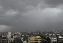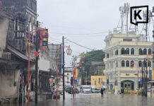


































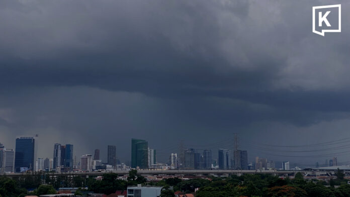
Thailand’s Meteorological Department warned on 8 August that heavy rain is expected across much of the country over the next 24 hours, with very heavy rain possible in parts of the North, Northeast and East.
The department said a monsoon trough is stretching across the upper North and upper Northeast toward a low-pressure cell over the Gulf of Tonkin. Meanwhile, a relatively strong southwest monsoon is prevailing over the Andaman Sea, Thailand and the Gulf of Thailand.
People in affected areas are advised to beware of heavy to very heavy rain and accumulated rainfall, which could trigger flash floods and forest runoff, particularly in foothill areas, near waterways and in low-lying areas.
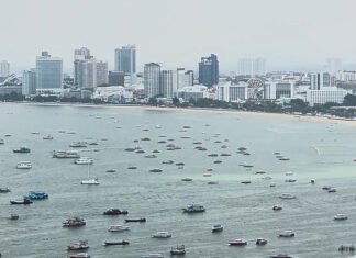
Waves are also expected to strengthen in the upper Andaman Sea and upper Gulf of Thailand, reaching 2-3 meters. Waves could exceed 3 meters during thunderstorms.
Boaters are advised to exercise caution and avoid areas experiencing thunderstorms. Small boats in the upper Andaman Sea and upper Gulf of Thailand should remain ashore.
The department also said Typhoon Dolphin, currently over the western Pacific west of Japan’s Okinawa Prefecture, is forecast to make landfall in China’s Zhejiang Province between 9 and 10 August. The storm is not expected to move into Thailand.
People planning to travel to the affected areas are advised to check weather conditions before departure.
Weather forecast from 06:00 on 8 August to 06:00 on 9 August
North
Thunderstorms will cover 80% of the area, with heavy rain in many areas of Mae Hong Son, Chiang Mai, Lampang, Phrae, Sukhothai, Tak, Kamphaeng Phet and Phichit provinces.
Very heavy rain is possible in some areas of Chiang Rai, Phayao, Nan, Uttaradit, Phitsanulok and Phetchabun.
- Minimum temperatures: 22-26°C
- Maximum temperatures: 31-36°C
- Southwest winds: 10-20 km/h
Northeast
Thunderstorms will cover 70% of the area, with heavy rain in parts of Nong Bua Lamphu, Kalasin, Mukdahan, Yasothon, Amnat Charoen and Ubon Ratchathani.
Very heavy rain is possible in some areas of Loei, Nong Khai, Bueng Kan, Udon Thani, Sakon Nakhon and Nakhon Phanom.
- Minimum temperatures: 22-25°C
- Maximum temperatures: 27-34°C
- Southwest winds: 10-20 km/h
Central region
Thunderstorms will cover 60% of the area, with heavy rain possible in parts of Nakhon Sawan, Uthai Thani, Lop Buri, Saraburi, Kanchanaburi and Ratchaburi.
- Minimum temperatures: 24-26°C
- Maximum temperatures: 33-35°C
- Southwest winds: 10-25 km/h
East
Thunderstorms will cover 70% of the area, with heavy rain possible in parts of Nakhon Nayok, Prachin Buri and Rayong.
Very heavy rain is possible in some areas of Chanthaburi and Trat.
- Minimum temperatures: 23-28°C
- Maximum temperatures: 30-34°C
- Southwest winds: 20-40 km/h
- Waves: 2-3 meters, exceeding 3 meters during thunderstorms
Southern region — east coast
Thunderstorms will cover 40% of the area, mainly in Phetchaburi, Prachuap Khiri Khan, Chumphon and Surat Thani.
- Minimum temperatures: 23-26°C
- Maximum temperatures: 32-36°C
- Southwest winds: 20-35 km/h
- Waves: 1-2 meters offshore and exceeding 2 meters during thunderstorms
Southern region — west coast
Thunderstorms will cover 60% of the area, with heavy rain possible in parts of Ranong and Phang Nga.
- Minimum temperatures: 23-27°C
- Maximum temperatures: 31-35°C
From Phuket northward, southwest winds will reach 20-40 km/h, with waves of 2-3 meters and waves exceeding 3 meters during thunderstorms.
From Krabi southward, southwest winds will reach 20-35 km/h, with waves around 2 meters and waves exceeding 2 meters during thunderstorms.
Bangkok and surrounding areas
Thunderstorms will cover 70% of the area, with heavy rain possible in some places.
- Minimum temperatures: 25-28°C
- Maximum temperatures: 32-35°C
- Southwest winds: 10-25 km/h